Languages:

This site is created using Wikimapia data. Wikimapia is an open-content collaborative map project contributed by volunteers around the world. It contains information about 32490112 places and counting. Learn more about Wikimapia and cityguides.
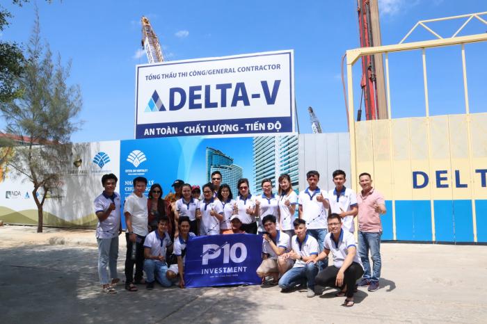
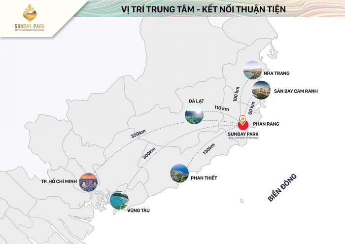
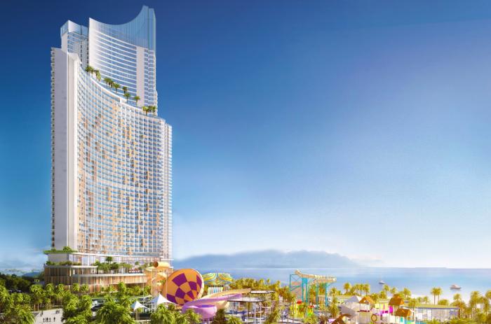
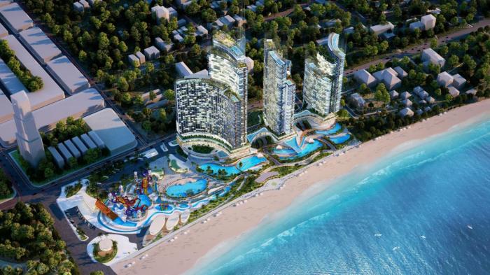
Phan Rang-Tháp Chàm

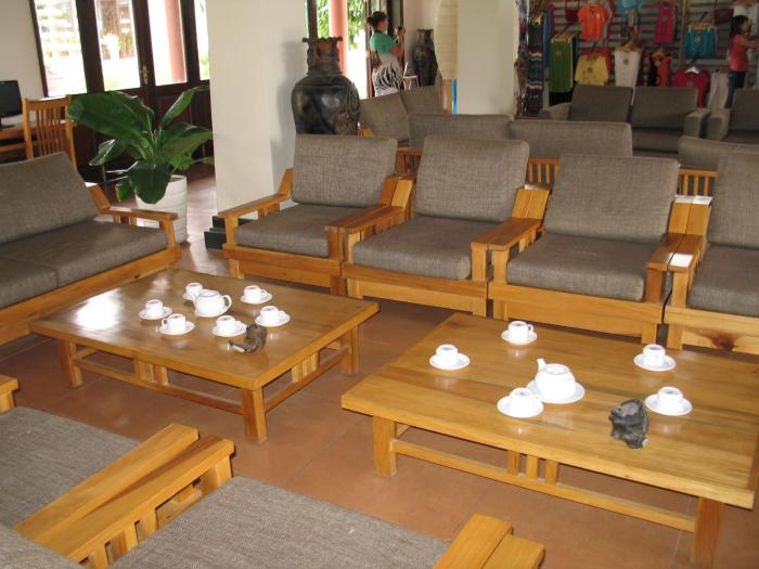
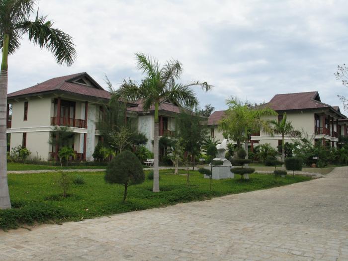
Ninh Thuan Is an edge of the "Triangle of Tourism" Phan Rang-Nha Trang-Da Lat, Ninh Thuan - Phan Rang is still keeping wild scene, splendid sand with cactus Dune , quiet blue Ocean and Champa legendary Culture. The Interesting nature of the Nui Chua ( Godness mountain) National Park such as Vinh Hy Bay- one of the four most beautiful bay In Viet Nam , Lake hang on the Mountain wall, Lo O stream ... or the Champa cultural heritage such as Hoa Lai tower , Poklong Garai tower , Bau Truc pottery village, My Nghiep embrodery village.

Recent city comments:

  • Po Klong Garai Tower, Anthony James wrote 10 years ago:
    PoKlongGirai waterfall was built under King Simhavarman III in the end of 13th century. In addition, this is a place Cham pilgrims usually visit and a location of Kate festival on October. (source from http://vietnam-online.org/?p=1931)
  • Thành Phố Phan Rang, huyen (guest) wrote 10 years ago:
    Mình và bạn mình lần đầu đi kiểu tự túc. Mình hiện ở tp hcm Và trót yêu Phan Rang từ lâu rồi này mới có dịp. Các bạn có thể chỉ tận tình cách đi đến đó được ko? Mình muốn đến đảo Vịnh Hy, thăm vườn nho và làng gốm, biển Ninh Chữ. Mình đi trong khoang 3 dem 2 ngay. Phuong tien di chuyen thi nhu the nao. Cam on mng
  • Trường THCS Lê Hồng Phong, Kimmy Vo wrote 10 years ago:
    chào mọi người, mình là học sinh của trường Lê Hồng Phong, năm ngoái mình học lớp 8/4. Hiện đang đi du học ở New York
  • Tỉnh lộ 704, nguyentuanquang wrote 12 years ago:
    đường phạm ngọc thạch
  • Phường Mỹ Bình (Bình Sơn cũ), fsdfsd (guest) wrote 12 years ago:
    binh `son pro
more comments...
Phan Rang-Tháp Chàm on the map.

Recent city photos:

more photos...